
Serving Wood County
Drone Services in Wood County.
Professional drone photography and videography in Wood County. FAA certified aerial services for real estate, land, commercial, and events. 48-hour delivery. Call (304) 543-3081.
Local coverage
Aerial work, on the ground in Wood County.
Professional FAA-certified aerial services for Wood County and surrounding areas
Wood County, West Virginia is the commercial heart of the Mid-Ohio Valley, anchored by Parkersburg and Vienna. From the Ohio River corridor to the rural eastern portions of the county, Wood County offers diverse drone photography opportunities. We serve Wood County realtors, commercial property managers, businesses, and organizations with professional aerial photography, videography, and mapping services — most within our free travel zone.
Our Services in Wood County
We bring the full range of Horizon Heights Productions services to Wood County:
Local highlights
Landmarks and districts we cover in Wood County.
From the iconic to the everyday — we know the spots, the airspace rules, and the best times of day.
- Parkersburg (County Seat)
- Vienna
- Williamstown
- Blennerhassett Island
- North Bend Rail Trail
- Little Kanawha River
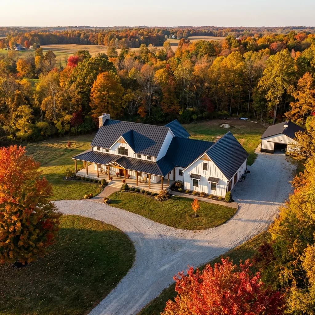
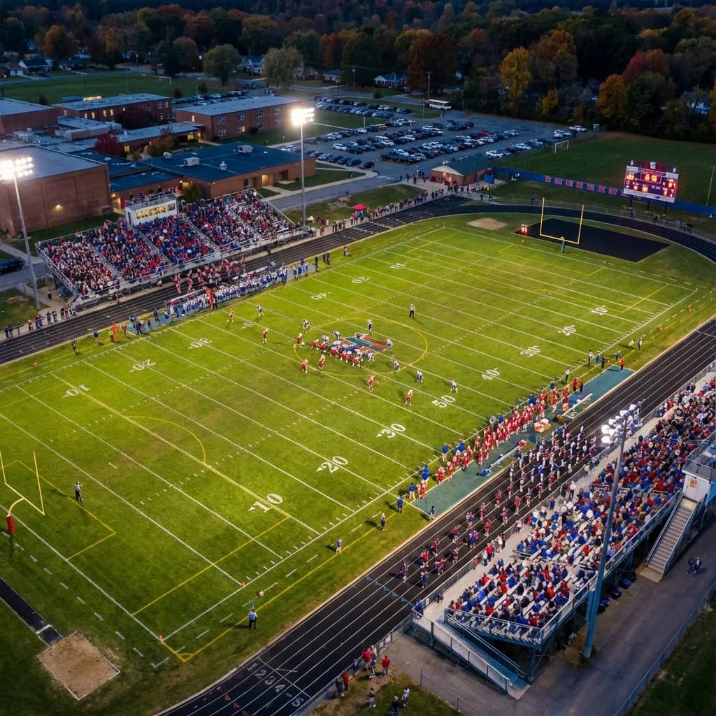
Recent work
Selected projects in the Wood County region.

FAQ
Frequently asked in Wood County.
Do you charge a travel fee for shoots in Wood County?
How quickly can you book a shoot?
What services do you offer in this area?
Are you FAA-certified and insured?
Ready to book?
Shooting in Wood County this week.
Fastest way is to call or text. Most quotes go out the same day, and most projects deliver inside 48 hours of shoot day.
Marietta, OH · Mid-Ohio Valley · No travel fee within 30 miles