Portfolio
Land & Aerial Photography Portfolio
Land & Aerial Photography Portfolio
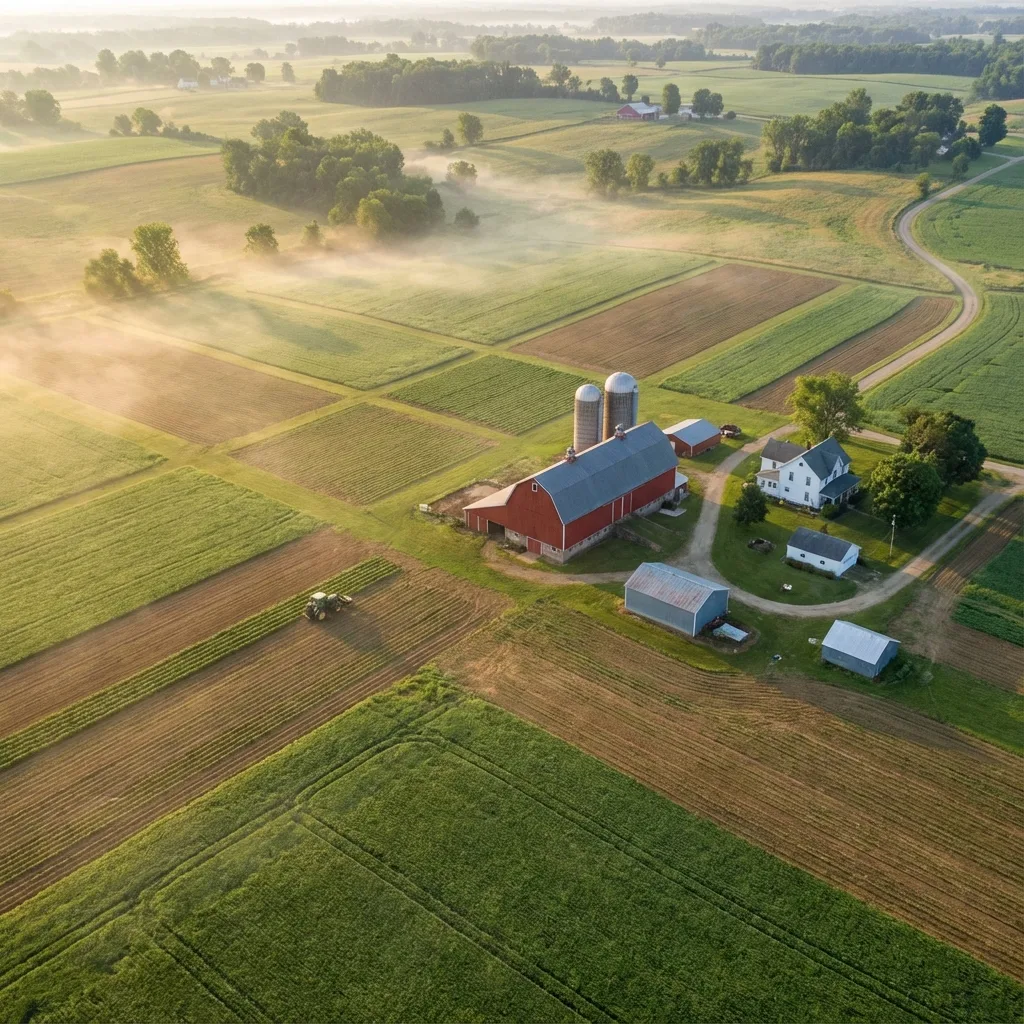
Large Acreage and Land Parcels From Above
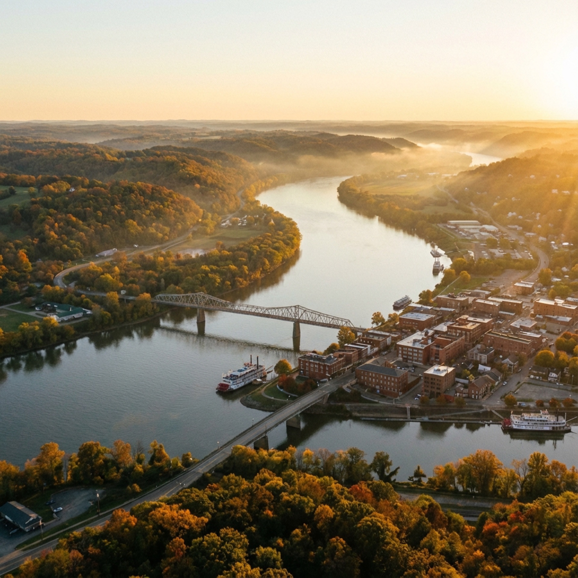
From sprawling timber tracts and working farms to vacant development parcels, our aerial land photography reveals the true scale, terrain, and potential of every property. These images help landowners, realtors, and buyers understand acreage boundaries, access roads, water features, and topography in ways ground-level photography simply cannot. Captured across Southeast Ohio and the Mid-Ohio Valley with FAA Part 107 certified drone operations.
Wooded Acreage Overview
Washington County, OH
Mixed Timber and Pasture
Southeast Ohio
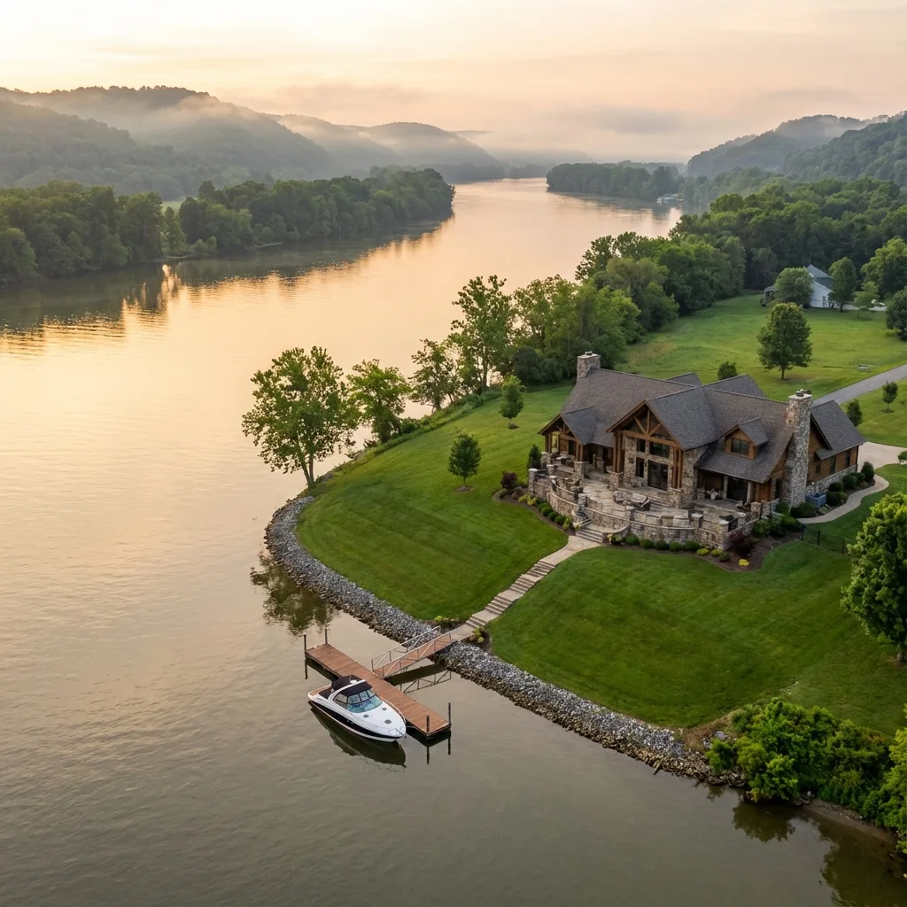
Farm Property Boundary View
Mid-Ohio Valley
50+ Acre Farmland Tract
Washington County, OH
Rural Land with Creek Access
Appalachian Ohio
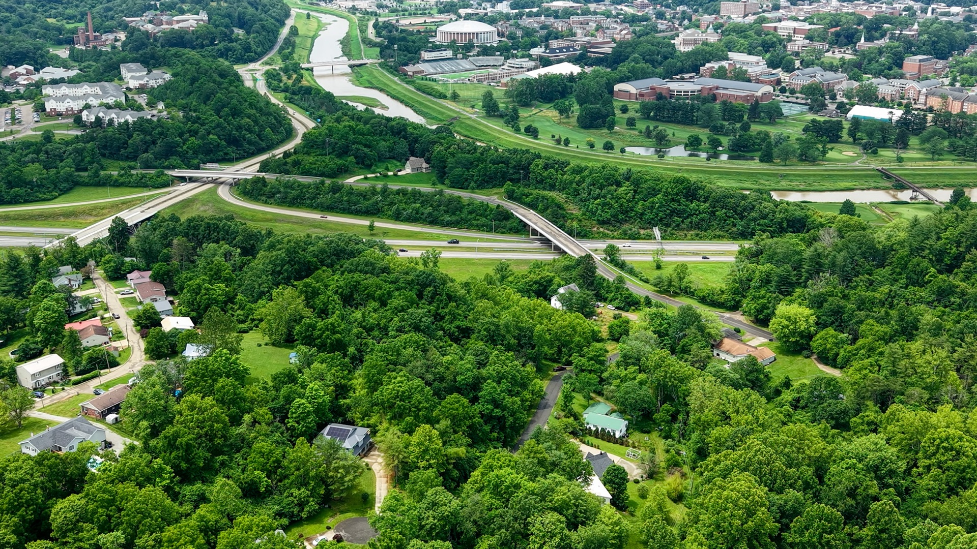
Hilltop Development Parcel
Noble County, OH
Need aerial photography for a land listing or survey?
View Land & Aerial Survey Services
Ready to Showcase Your Land?
Aerial photography that reveals the full scope and potential of any property. Contact us for a free consultation.